Seeing the forest clearly
Mapping and conserving Europe’s primary and old-growth forests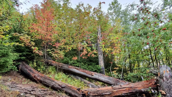
Photo by:
Marcus Lindner, European Forest Institute
How can we find out where Europe’s primary and old-growth forests are and how can accurate mapping help protect them?
Organised as a collaboration of FORWARDS and WILDCARD projects, this webinar brings together researchers and practitioners to explore how field data, remote sensing and mapping approaches can help identify and monitor primary and old-growth forests across Europe.
Our speakers will share experiences from different forest types and national contexts, from hemiboreal forests in Latvia to boreal forests in Finland and national mapping approaches in Italy. The discussion will also look at how scientific evidence can support EU and national restoration planning under the Nature Restoration Regulation and how mapping can be translated into concrete action for conservation, protection and restoration.
Speakers:
Laura Ķēniņa from the Latvian State Forest Research Institute “Silava” will present her experience in studying hemiboreal old-growth forest stands. Building on her doctoral research on carbon storage, her current work uses five-year cycle re-measurement data to identify and analyze how stand structure changes over time across forest types and dominant tree species. Her presentation will provide insights into the linkages between structural development, natural disturbances, and carbon storage, thereby revealing their potential relevance for practical application.
Janne Räty of the Natural Resources Institute Finland (Luke) will present recent research on using airborne laser scanning and satellite imagery to detect boreal old-growth forests in Finland. He will explain why larger field plots, individual tree and canopy gap information can improve classification accuracy. He also demonstrates how the rarity of old-growth forests affects mapping accuracy metrics.
Lyla O’Brien of EFI will outline priority actions for conserving primary and old-growth forests in Europe. Her contribution will examine how the Nature Restoration Regulation and national restoration plans can support better mapping and protection, reduce anthropogenic pressures, expand strictly protected areas and buffer zones, improve connectivity, and promote the development of secondary old-growth forests.
Giorgio Alberti, University of Udine, coordinator of the WILDCARD project, will present experience from an Italian national project that combined remote sensing with field sampling to identify old-growth forests. The case will illustrate how complementary data sources can be integrated at national level and how this approach can contribute to conservation planning.
The webinar is moderated by Communications Manager Gesche Schifferdecker of EFI.
Related content
Ask a Scientist - Carbon Farming in European Forests
This event explored the potential, challenges and science behind carbon farming in European forests, including carbon storage, monitoring and policy…
7 April 2025, 14:00–15:30
- Resilient forests

Forest Habitat monitoring in the context of Natura 2000
The ThinkForest event explored how forest habitat monitoring and assessment under the EU Habitats Directive can be improved to support more accurate,…
22 May 2026, 10:00–11:30
- Resilient forests
Forest Carbon Monitoring (FCM)
The FCM toolset assists and promotes carbon accounting, which will influence important environmental, economic and social decisions worldwide.
- Resilient forests