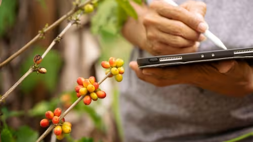
Knowing the precise location of the plots of land where an agricultural commodity was produced is becoming increasingly important for global supply chains amid a growing focus on traceability. Regulations, certification schemes and buyers are requiring more transparency on where commodities like coffee, cocoa, rubber, palm oil and others are produced. In addition, geolocation information can also help smallholder farmers demonstrate land ownership and use rights.
While it is relatively straightforward to collect geolocation information for large agricultural plantations and estates, gathering this information for individual farmers’ small plots of land is much more challenging. Cooperatives are ideally placed to assist with the collection of geolocation information for their farmers, as part of their broader support and information gathering activities.
This easy-to-use document is intended to guide cooperatives – as well as other actors such as civil society organisations – on how to collect geolocation information of farmers, why this is important, how such geolocation data can be used for different purposes, and data ownership considerations.
Related content
Know your plot: the importance of geolocation for farmers
Why farmers should know the exact geolocation of their plots, and how this data can be collected.
- Forests and people
Overview of some commonly used mobile apps for collecting geolocation information
An overview of key features, accessibility and usability of six commonly used free tools for collecting plot-level geolocation information.
- Forests and people
Technical facility on deforestation-free value chains
We collaborate with commodity-producing countries to assist in transitioning to legal and deforestation-free value chains.
- Sustainable economy