Overview of some commonly used mobile apps for collecting geolocation information
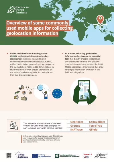
Geolocation data is key to supporting traceability in agricultural supply chains. Under the EU Deforestation Regulation (EUDR), for example, geolocation information for all plots of land where a relevant commodity was produced must be provided in due diligence statements. Collecting geolocation information, especially for smallholders’ farms, is therefore becoming increasingly essential.
Fortunately, there are a growing number of open-access mobile applications available to support farmers, cooperatives, civil society organisations and others to simplify the data collection process. Each application has different features, tools, availability and relevance to different contexts on the ground.
Related content
Geolocating plots of land
A guide for cooperatives and other actors on supporting the collection of geolocation information of farmers – covering why, how, and data ownership.
- Forests and people

Know your plot: the importance of geolocation for farmers
Why farmers should know the exact geolocation of their plots, and how this data can be collected.
- Forests and people
Technical facility on deforestation-free value chains
We collaborate with commodity-producing countries to assist in transitioning to legal and deforestation-free value chains.
- Sustainable economy