Different maps, different answers: improving geospatial data for EUDR due diligence
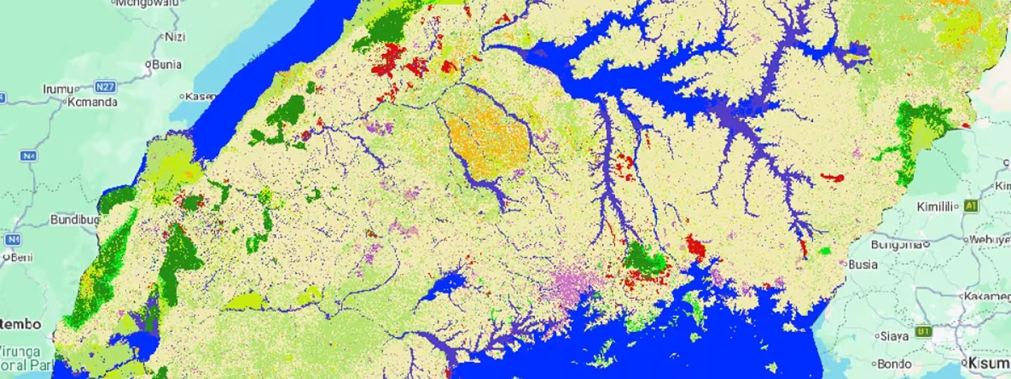
Geospatial information can show where forests are, where agricultural land begins or whether a farm overlaps with a protected area. But what happens when two land use maps give different answers about the same place?
This was one of the questions explored during a technical workshop on Geospatial Data for Due Diligence, held in Barcelona on 14–15 October 2026. The workshop brought together public authorities, research and technical organisations, companies and geospatial data providers to examine how geographic information can support due diligence under the EU Deforestation Regulation (EUDR).
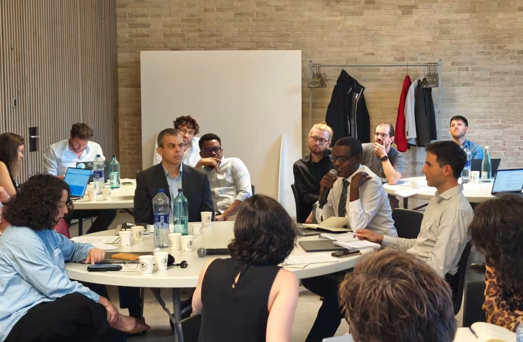
A participant speaking during a roundtable discussion at the technical workshop in Barcelona.
Photo by:
EFI
Why maps can disagree
The EUDR has increased demand for geospatial information that can support assessments of deforestation and legality risks linked to specific plots of land. Relevant sources include satellite imagery, land-use and land-cover datasets, commodity and forest maps, protected-area boundaries and systems that alert users to changes in forest cover.
But these datasets have been created for different purposes. They can use different definitions, analyse different periods and have different levels of detail and accuracy. For example, information showing tree cover is not necessarily the same as information showing how land is being used. Differences in how trees and croplands are classified can therefore affect how a particular plot is interpreted.
Different providers may also use different methods to analyse the information. In some cases, the same plot can be classified as high risk by one system and low risk by another. This creates practical challenges for companies carrying out due diligence and for public authorities responsible for controls.
From more data to better decisions
Against this background, the workshop focused on what makes geospatial information sufficiently reliable and useful to support decisions.
Participants first examined the existing geospatial data landscape, including differences in dataset scope and accuracy and the particular difficulty of mapping agroforestry systems. They then considered how these limitations affect risk assessment and access to information, especially for farmers and cooperatives. The discussion also highlighted the value of sharing intermediate products, such as ground-truth data and very-high-resolution satellite imagery, where appropriate.
“A national map does not become decision-grade when it is perfect. It becomes decision-grade when it is shared, checked and trusted.”
The audience also discussed data transparency, methodologies and their limitations, and how to use the data beyond compliance. One recurring question was how to move towards what the workshop described as “decision-grade” geospatial data: information that is reliable, consistent and suitable for a specific decision, while making its limitations clear.
The second day shifted from identifying challenges to exploring potential solutions. Participants considered the characteristics of reliable data and how governments, companies, data providers and research organisations could improve it collaboratively. They also examined access: reliable information may exist without being readily available to those who need it, while privacy or sensitivity concerns may prevent some information from being made public. Discussions therefore focused on how data producers can make information more usable while maintaining appropriate safeguards.
Working across the data ecosystem
The discussions brought together perspectives from national institutions in producing countries, European competent authorities, international and research organisations, geospatial service providers and supply-chain actors. Participating organisations included JRC, FAO, GIZ, CIAT, national institutions from Colombia, Côte d’Ivoire, Ghana, Ethiopia and Uganda, competent authorities from Germany and Spain, and private-sector representatives from coffee, cocoa and rubber and technical service providers.
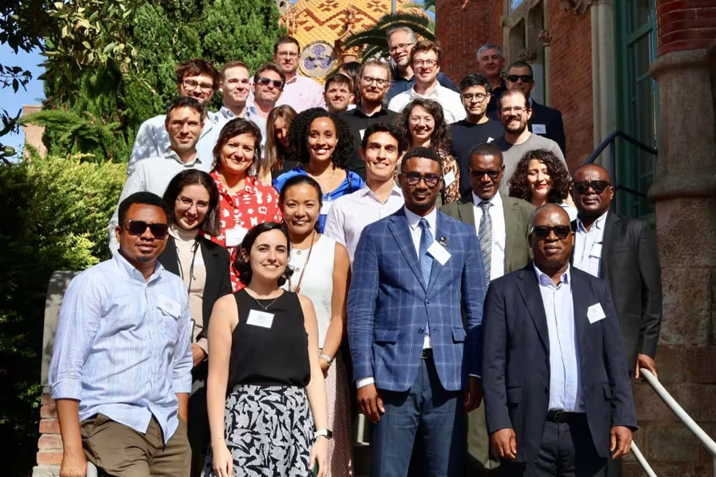
Participants of the Geospatial Data for Due Diligence Workshop at the Sant Pau Art Nouveau Site, Barcelona.
Photo by:
EFI
The workshop aimed to improve shared understanding of how geospatial information is produced, interpreted and used, while identifying opportunities for greater transparency, consistency and collaboration. It also sought to identify priority areas for future work connected to the Team Europe Initiative on Deforestation-free Value Chains.
Across the data ecosystem, participants emphasised the importance of sharing data and metadata and ensuring that stakeholders have tools and systems they can use. They also highlighted the need for effective communication with smallholders in producing countries and micro, small and medium-sized enterprises in consuming countries. Finally, participants noted that private-sector collaboration may be strengthened when improved maps support multiple objectives, including environmental services, emissions reductions and biodiversity.
Find out more
EFI’s Technical Facility on Deforestation-free Value Chains has developed guidance and resources for organisations working with geolocation and other information for EUDR due diligence.
Geolocation and the EU Deforestation Regulation
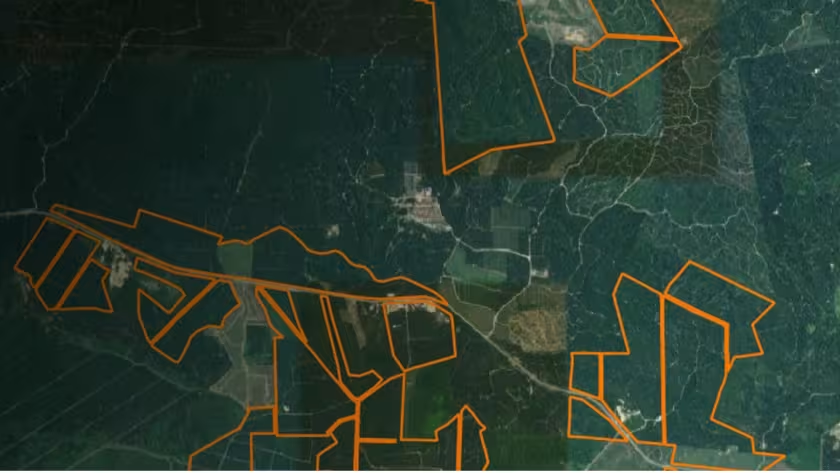
This report provides a concise overview of the geolocation requirements under the EUDR.
- Sustainable economy
Unpacking the geolocation requirements under the EU Deforestation Regulation
This factsheet explores EUDR geolocation requirements and explains how to manage geolocation data.
- Sustainable economy
Geolocating plots of land
A guide for cooperatives and other actors on supporting the collection of geolocation information of farmers – covering why, how, and data ownership.
- Forests and people

Overview of some commonly used mobile apps for collecting geolocation information
An overview of key features, accessibility and usability of six commonly used free tools for collecting plot-level geolocation information.
- Forests and people
What tools are available to comply with the EUDR?
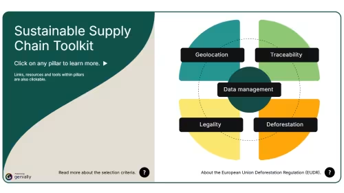
Discover what free and/or open-source tools are available to supply chain actors to comply with the EU Deforestation Regulation.
- Sustainable economy
Related content
Sustainable Cocoa Programme
We support the EU Flagship Initiative on Sustainable Cocoa, in Cote d’Ivoire, Ghana and Cameroon.
- Inclusive governance
WHIMO: a practical tool for sharing traceability information across agricultural supply chains
Learn how WHIMO app helps supply-chain actors transfer origin and transaction data along agricultural value chains.
- Inclusive governance

Know your plot: the importance of geolocation for farmers
Why farmers should know the exact geolocation of their plots, and how this data can be collected.
- Forests and people